
Find our local planning decisions
Search the weekly list, or the full list of planning decisions made in Ashfield
We use cookies to improve your experience and improve our services. To find out more, read our privacy notice and cookie policy
The statutory Development Plan is the starting point in the consideration of planning applications for the development or use of land, unless material considerations indicate otherwise.
In Ashfield, the plans and policies that make up the Local Development Plan are:
In addition, Nottinghamshire County Council are responsible for the minerals and waste development scheme.
The Local Plan was adopted on 22 November 2002. Under current national planning policy (the National Planning Policy Framework) due weight can be given to relevant policies in the Ashfield Local Plan Review, according to their degree of consistency with the National Planning Policy Framework. The closer the policies in the Plan are to the policies in the Framework, the greater the weight that may be given.
The Ashfield Local Plan Review is divided into sections:
However, not all policies are applicable. In 2007, the Secretary of State for Communities and Local Government issued a direction under paragraph 1(3) of Schedule 8 to the Planning and Compulsory Purchase Act 2004, that meant that any policies that duplicated national planning policy at the time no longer applied to planning decisions. The ‘saved policies’, which continue to apply to the consideration of planning applications within the District, are as follows:
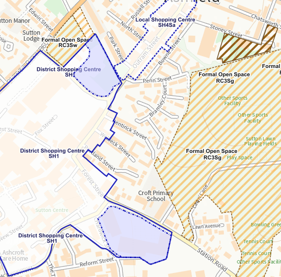
The Proposals Map identifies in detail the location of sites on a policy-by-policy basis.
The online map information is for guidance purposes only. The definitive proposals map should be referred to for more detailed information.
You can view the map online or find PDF versions of the map in the related documents section of this web page.
Neighbourhood planning is a way for communities to decide the future of where they live and work. Neighbourhood development plans set out a vision for the use of land in the community being prepared by parish councils or neighbourhood forums.
The neighbourhood plans form part of the development plan for the area in question along with the saved policies in the Ashfield Local Plan Review 2002. Therefore, where relevant to a planning application, they must be taken into account as part of the development plan policies.
Neighbourhood plans have been made for the following areas in the District of Ashfield: